Tholen and Sint-Philipsland
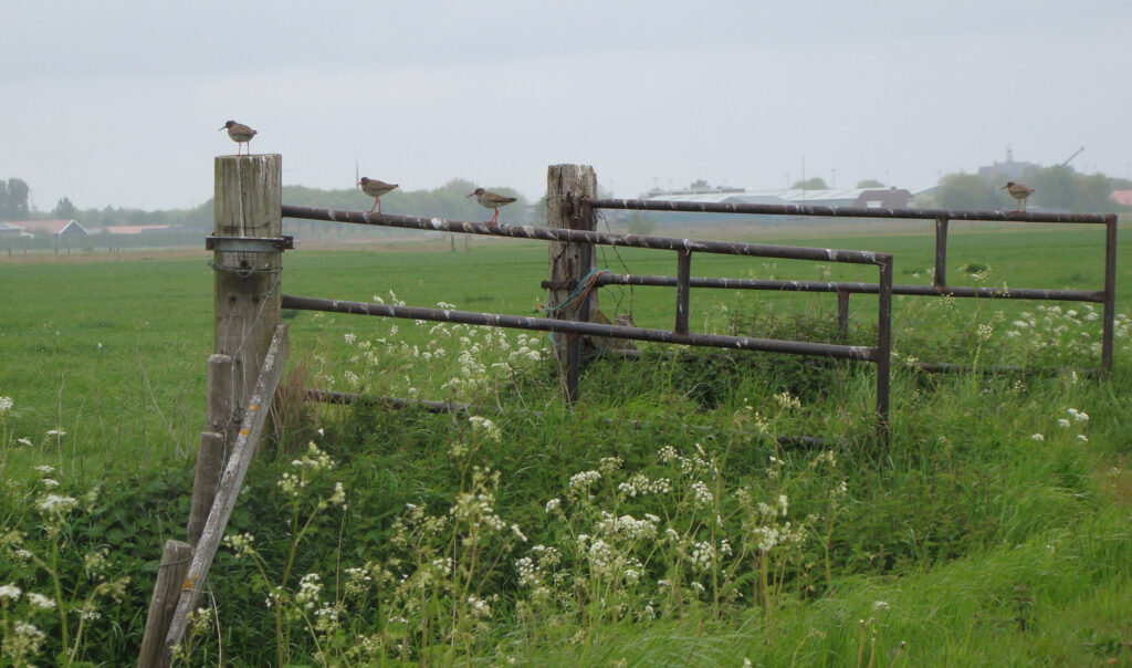
- 5 kilometers around the Rammegors. The Rammegors is connected with the Eastern Scheldt by a pipe. An open, dynamic landscape with a great chance to see birds. Start your walk at the parking area besides the nature entry point along the Kabbenkreekweg on the side of Sint-Philipsland. Follow the hiking network: 18-19-21-48-18. The route is indicated on this travel folder.
- A stroll of around 4 kilometers over ‘Flupland’, as Sint-Philipsland is also called.
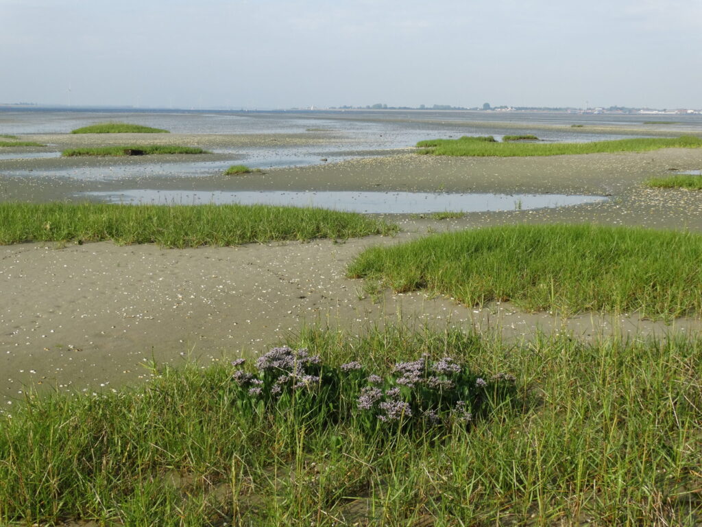
- The mudflats of the Heen is a special area with two fund, short walking routes. The area consists of former sandbanks, mudflats and salt marshes.
- In 9 kilometers you can walk from the old town of Sint Maartensdijk through nature area de Pluimpot and along the shores of the Eastern Scheldt. Take binoculars!
Schouwen-Duiveland
- A loop of almost 10 kilometers near Zierikzee, alongside nature areas Levensstrijd and Rengerskerke. Take binoculars, because you have a lot of chances to sport birds. Also great for a run!
- A satisfying stroll of about 5 kilometers near Zierikzee, to one of the best places to spot porpoise.
- A fun and diverse trail of 4 kilometers through Schelphoek near Serooskerke on Schouwen-Duiveland. This bird-rich creek area at the Easter Scheldt formed during the flood in 1953.
- Also the creeks of Ouwerkerk was formed as a result of the flood. This hike of 8 kilometers is a good combination with a visit to the Watersnoodmuseum: inside and outside strengthens the story of the disaster.

Noord-Beveland and Zuid-Beveland
- A summer stroll of 3 kilometers through Yerseke moor, open from mid-July until mid-October: super fun varied route with little information posts along the way.
- Yerseke has a rich fishing history . During this walk of 5,4 kilometers, you will learn more about this wonderful old village, the hart of Zeeland’s oyster and mussel cultivation.
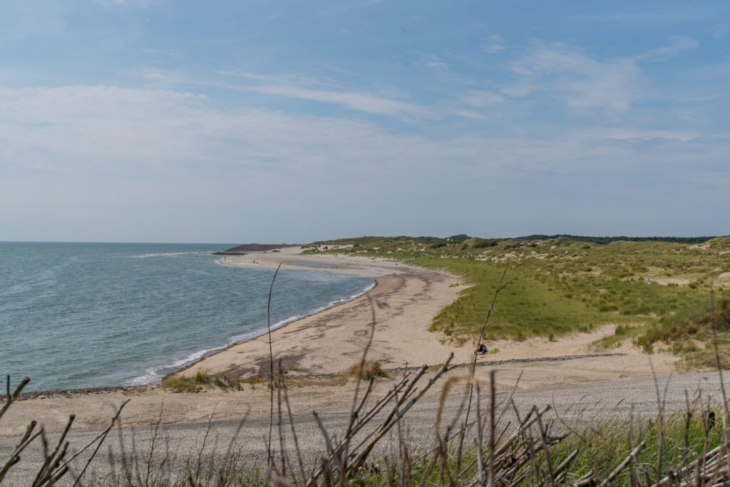
- A loop of almost 10 kilometers from Kamperland to Wissenkerke, with a nice stretch on the outer dyke (and a great view of the Eastern Scheldt!)
Neeltje Jans
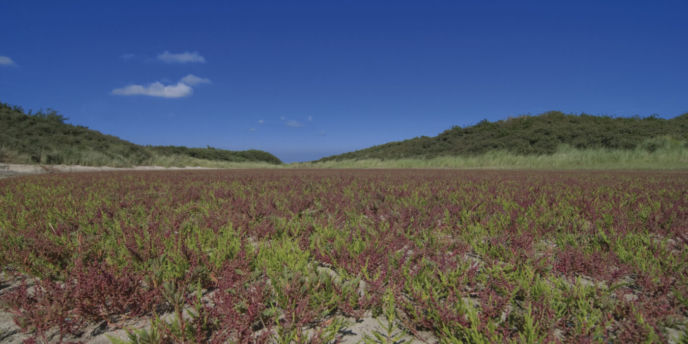
- It is pleasant to walk on Neeltje Jans: many birds, sea-buckthorn, sand and the sea. On the information post at the Topshuis you can find multiple routes. Our favourite – the yellow (3,2 kilometers), along the inlet and the Eastern Scheldt, and the blue (4,4 kilometers), along the viewpoint and the North Sea.

Nature & hiking
Plotting your own hiking route is possible with the walking network. Also online there are various tools to plot a nice route. However what is not always visible on the latter is if you are actually permitted to walk there.
In a few places around the Eastern Scheldt nature has been given the peace and rest it desperately needs. You are not permitted to access these areas. If you have made your own route, be sure to check if it allowed using this folder.

